 Start page(ENG) |
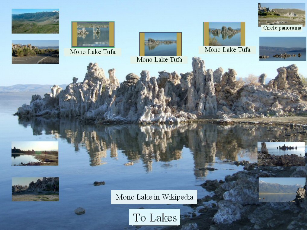
Mono Lake
Mono Lake is believed to have formed at least 760,000 years ago, dating back to
the Long Valley eruption. Sediments located below the ash layer hint that Mono
Lake could be a remnant of a larger and older lake that once covered a large part
of Nevada and Utah, making it among the oldest lakes in North America.
n order to provide resources for the growing Los Angeles area, water was diverted
from the Owens River. In 1941 the Los Angeles Department of Water and Power
extended an aqueduct system into the Mono Basin. So much water was diverted that
evaporation soon exceeded inflow and the surface level of Mono Lake fell rapidly.
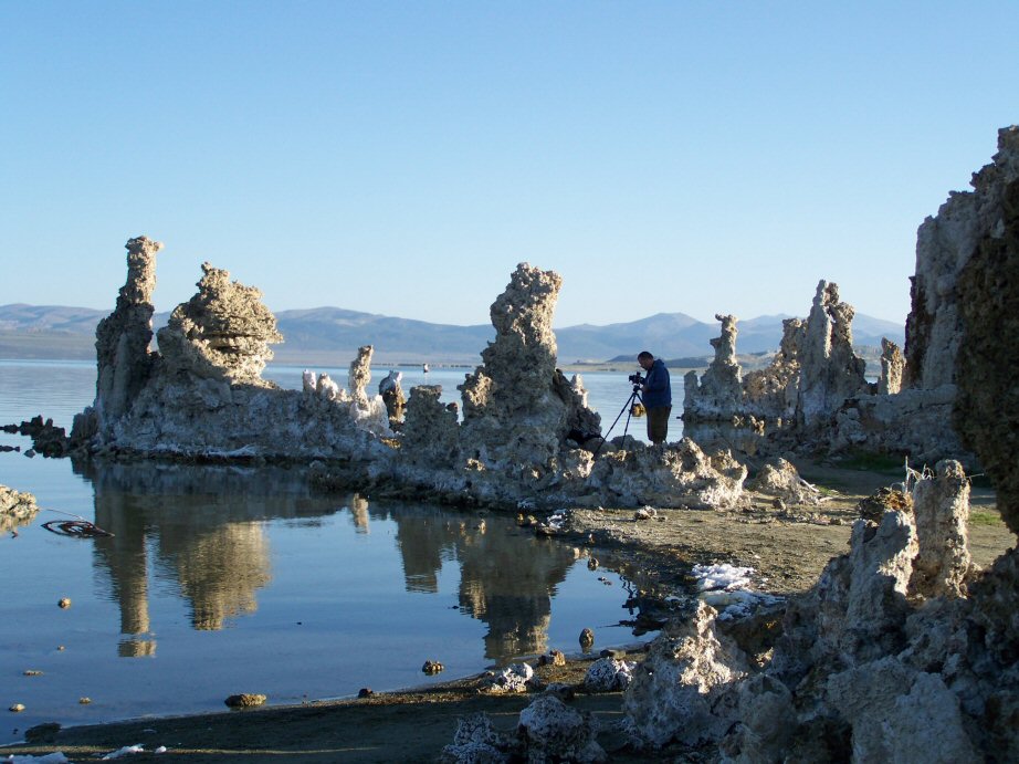
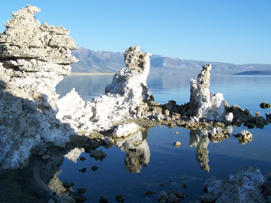
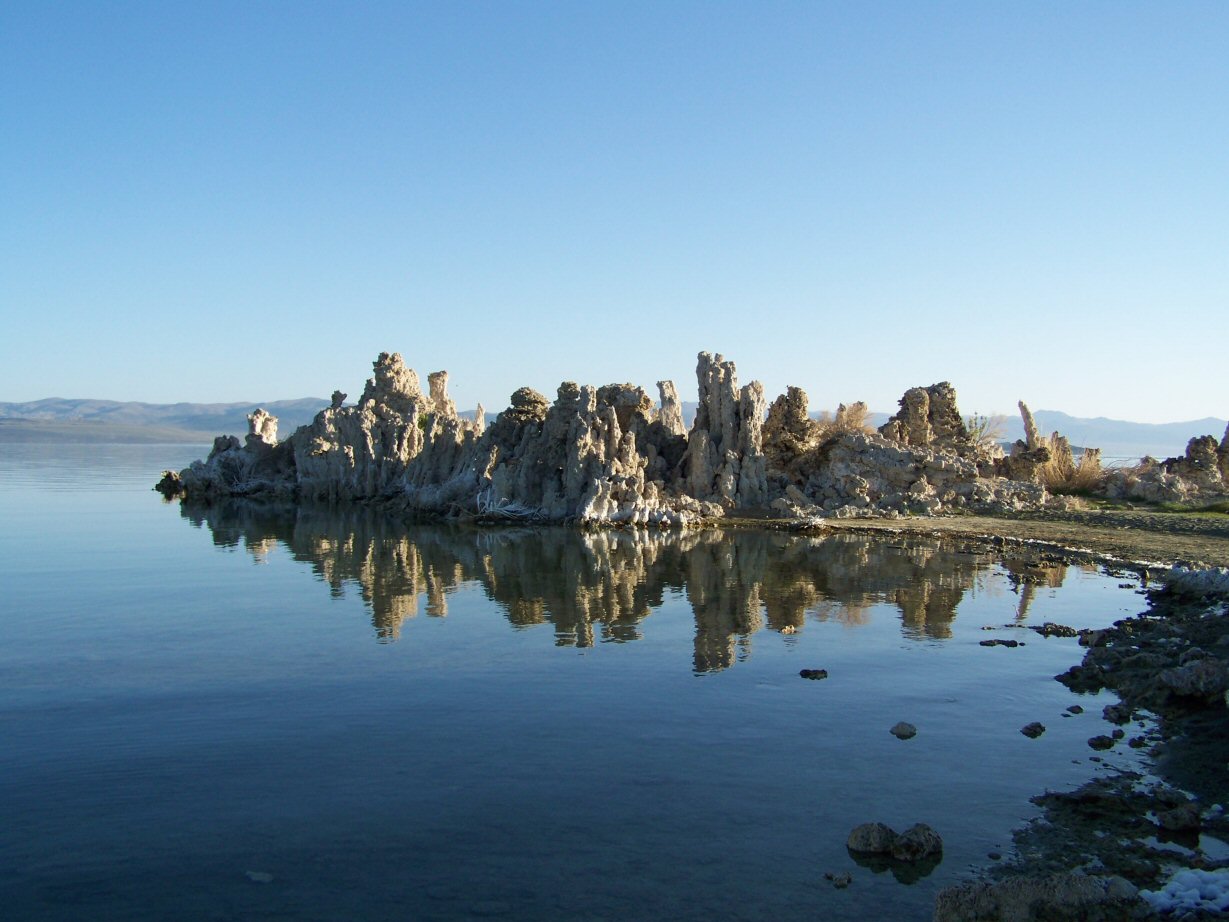
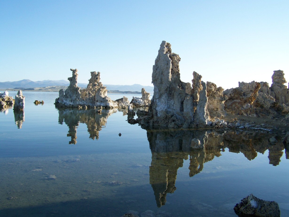
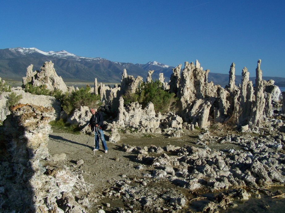
By 1982 the lake was reduced to 37,688 acres (15,251.8 ha) having lost 31 percent
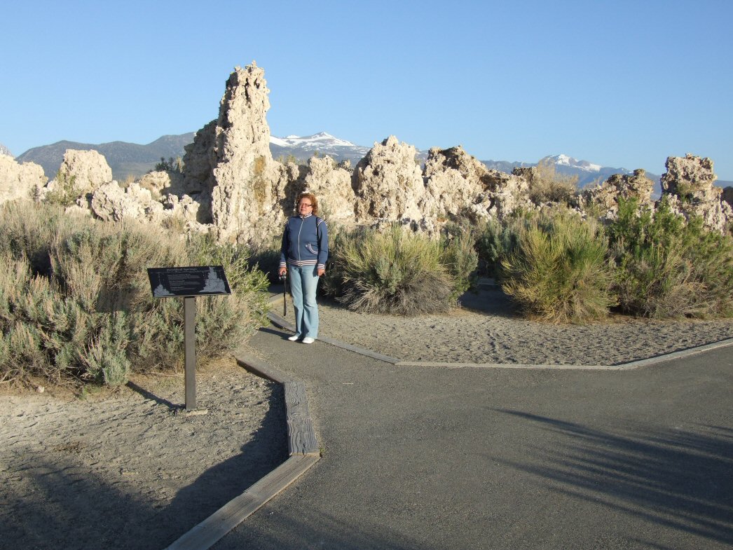
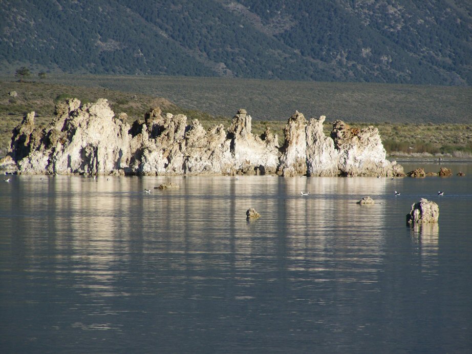
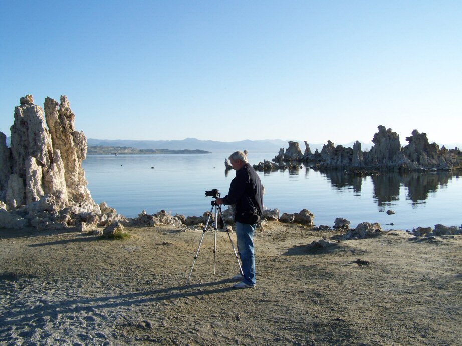
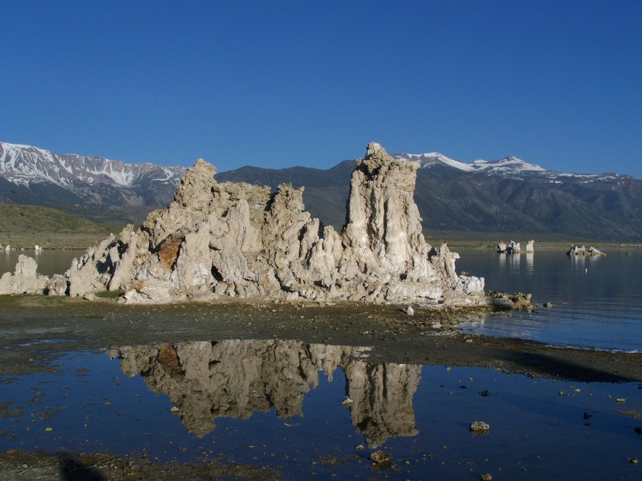
of its 1941 surface area. As a result alkaline sands and once-submerged tufa
towers became exposed and Negit Island became landbridged, exposing the nests of
gulls to predators (chiefly coyotes) and forcing the breeding colony to abandon the site.
|